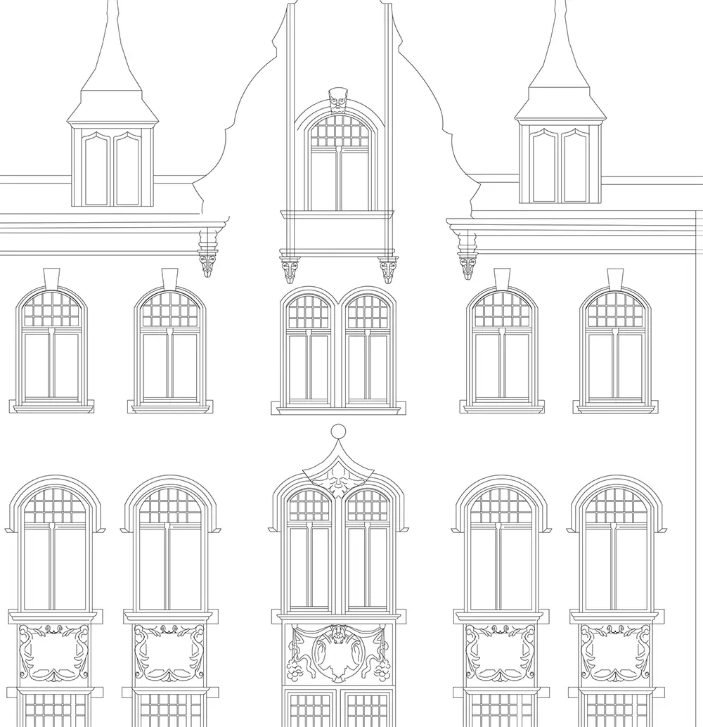
Detailed plans for architecture and interior design
PHOTOGRAMMETRY AND SPATIAL SURVEYING
PHOTOGRAMMETRY AND SPATIAL SURVEYING
Combining modern technologies, we offer efficient solutions for surveying building facades, territories, and interiors. Drone photogrammetry allows for quick data acquisition of large or hard-to-reach objects, while interior surveying provides accurate plans for your design or renovation ideas.
Photogrammetry – View from above and from the Ground
Photogrammetry is a process in which a scale-accurate and geometrically precise model or plan of an object is created from multiple images.
- Building facade surveying: Using drones (e.g., DJI Phantom 4 Pro) and specialized software (e.g., Context Capture), we create high-resolution facade orthophoto plans. This is a combination of a rectified photograph and a drawing, with all geometric distortions corrected and precise scaling applied. Such a plan can be directly used in AutoCAD to develop architectural drawings, perform area calculations, or plan renovation work.
- Large object and territory modeling: This technology allows for obtaining visually and spatially detailed surface models (Mesh), which are useful in urban planning, construction progress monitoring, and quarry volume calculations.
Interior Surveying – Precision in Every Room
When precise interior data is needed, we perform surveying to prepare detailed floor plans. This service is necessary for:
- Before developing an interior design or renovation project.
- Verifying real estate area.
- Planning furniture and equipment layout.
Obtainable Results:
- Orthophoto plans (.jpg): High-resolution, scaled images of facades or territories, ready for loading into CAD or GIS software.
- 2D drawings (.dwg, .pdf): Accurate facade and floor plans prepared from orthophoto plans or interior surveying data.
- Surface model / Mesh (.obj): A spatial 3D model that provides visual and geometric analysis of the object.
To learn more about the possibilities and receive a consultation for your project, contact our specialists!