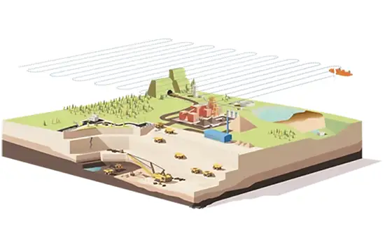
Territory analysis and surveying from a bird’s eye view
AERIAL MAPPING
Aerial mapping with unmanned aerial vehicles (drones) is the fastest and most efficient way to obtain high-precision geospatial data for large and hard-to-reach areas. We combine state-of-the-art drone technology with professional data processing to provide you with a detailed, centimeter-accurate view of your property, construction site, or natural resources from a bird’s eye perspective.
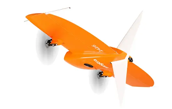
We have top-class mapping drones with RTK/PPK technology, allowing us to achieve absolute accuracy of up to 1-2 cm without the use of ground control points. In a single flight, which can last up to an hour, we can accurately measure areas of several hundred hectares, significantly reducing the time and costs required for fieldwork.
Obtainable Data Products:
After the flight and data processing, we prepare various products according to your needs:
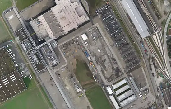
- Orthophoto map: A high-resolution, scale-appropriate, and geographically referenced image of the area that serves as an accurate and up-to-date map.
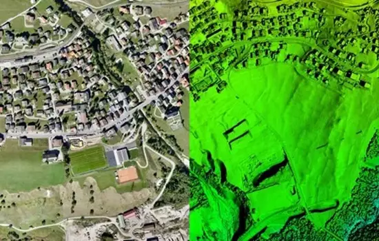
- Digital Surface and Terrain Model (DSM/DTM): An accurate 3D model of the area that depicts the terrain of the land surface and the objects on it (buildings, trees).
- 3D “Mesh” model and point cloud: A visually detailed and geometrically accurate three-dimensional model of an object or area for further analysis and visualizations.
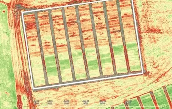
- Multispectral data: Special data for agricultural and environmental monitoring needs, allowing assessment of plant health and other specific parameters.
Application Areas:
Our aerial mapping services provide significant contributions to various industries:
In surveying and urban planning:
- Rapid preparation of large-scale topographic plans.
- Initial research for urban planning and land development projects.
- Recording the existing situation before construction intentions.
In quarries and extraction industry:
- Quick and safe volume accounting of extracted materials (sand, gravel, crushed stone).
- Quarry operation planning and monitoring.
- Slope and gradient stability monitoring.
In construction and infrastructure:
- Initial assessment of the construction site and creation of 3D models.
- Regular aerial monitoring of construction progress.
- Calculation of earthwork volumes.
In agriculture and forestry (presentation):
- Monitoring plant health status and early identification of problem areas.
- Precise accounting of crop and forest stand areas.
- Assessment of damages caused by natural disasters.
In environmental protection and monitoring:
- Monitoring land use changes (e.g., coastal erosion, vegetation changes).
- Territory classification and natural resource inventory.
- Identification of illegal logging or waste dumps.
Contact us to discuss how aerial mapping can help your project reach new heights and obtain data faster and more efficiently than ever before!